Check your field's yield from one photo.
Upload a top-down photo of your field. Get the predicted yield, a rating and the best crops to plant.
No photo yet? Try one of ours.
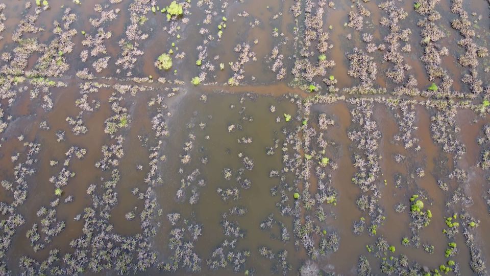
Your results
Getting a good photo
- Shoot straight down, not at an angle.
- Fill the frame with the field. Keep sky, roads and buildings out.
- Take it in daylight during the growing season.
- Upload the original, without filters or heavy edits.
Crops we recommend
Picked for Malaysian conditions. With a location, the advice also weighs local weather and soil.
- Paddy
- Oil palm
- Rubber
- Durian
- Pineapple
- Coffee
- Papaya
- Cotton
- Banana
- Corn
Questions
What do Good, Fair and Poor mean?
Good is 7 tonnes per hectare or more, Fair is 3 to 7, and Poor is under 3.
Why add the field's location?
With latitude and longitude the result adds today's weather and the soil type and pH for that spot, and the crop advice takes them into account.
Are my results saved?
Yes. Every result goes to your History in this browser. Sign in with Google to keep it across devices.
More answers on the Help page.